top of page

Blog and News
Search


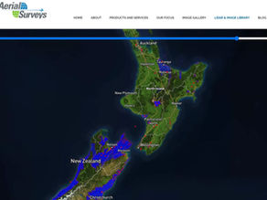
Aerial Surveys LiDAR Library. Pick a Point!
Aerial Surveys has been capturing LiDAR since 2007. Whilst much of the LiDAR we capture is available on LINZ Data Service we do have...
Nov 17, 2023


Historic Aerial Imagery - Revealing the Past and Informing the Future
Aerial Surveys now has two Leica large format negative scanners running and ready to reveal the past and help inform the future. In the...
Oct 9, 2023


Aerial LiDAR Showdown – Linear/Discrete vs Full Waveform
In the dynamic realm of geospatial data collection, LiDAR (Light Detection and Ranging) has emerged as a game changer for terrain...
Sep 14, 2023


What's possible with Historic Aerial Imagery?
Aerial Surveys is New Zealand's oldest aerial surveying business, capturing imagery since the 1950's. Over 70 years of capture has...
Jul 20, 2023


Aerial Surveys Image Library. I can see my house from here!
Aerial Surveys is New Zealand's oldest aerial surveying business. Aerial Surveys has been capturing imagery since the 1950's. Over 70...
Jun 19, 2023


How to get the most out of Aerial Imagery?
In most cases Aerial Imagery operators will be able to advise you on the specifics when it comes to defining the right capture...
May 15, 2023
bottom of page
