
How to get the most out of LiDAR?
- Dec 14, 2022
- 2 min read
Updated: Dec 15, 2022

In most cases LiDAR operators will be able to advise on the specifics when it comes to LiDAR capture. It's always advisable to have an open dialogue with the service providers you plan to work with, as the specifications can vary depending on the equipment they use. That being said, there are 3 key bits of information you need to know before requesting a quote:
1. What is the LiDAR for?
It's important to communicate what the application is and what the desired outcomes from the data and analysis will be used for. This knowledge will help operators define the right specification for the required application to achieve the desired outcomes.
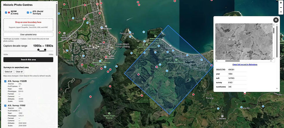
2. What is the Area?
Clearly define the area you want to capture. Consider surrounding area for features that may be of interest to the project. Its best if you define the area with a polygon in a GIS tool and provide a digital file (Shapefile, KMZ/KML or similar). The location, size of area, terrain and ground cover will all affect the pricing in some way. This detail will take the guess work out of flight planning and help determine the operational parameters required and which LiDAR settings are selected.
3. What is the budget?
The cost of capture can vary based on the items above. However, if the operator has an idea of the budget and the application they can tailor a solution to meet those competing needs.
Other items to consider:
What is the required level of accuracy? The level of accuracy maybe defined by the vertical and horizontal accuracy + or – number of centimeters and pulse density (pulses per square metre). For the later your operator can help define this from the application and required accuracy.
What horizontal projection/datum to use? What vertical height datum to use?
Do you need imagery? If you require a colourised point cloud it is advisable to capture imagery at the same time.
Are there any capture restrictions? e.g. low tide, low river flows, for imagery sun angle limitations, etc.
When does it need to be captured? Any time limits or specific times of the year?
What end products are required? Let the vendor know how the point cloud needs to be classified. This may be inferred by the application mentioned above. Do you require the classified point cloud as one file or separated into ground and above ground files? Do you require a colourised point cloud , or other derived products such as Digital Elevation Model (DEM), Digital Surface Model (DSM), contours, intensity imagery etc?
What systems will be used to view the data? What GIS or CAD system will the data be viewed or edited in. This is important as different systems accept different file formats.
As mentioned above it is always advisable to reach out to your service provider to help define the LiDAR specification you need. Please feel free to reach out to Aerial Surveys at info@aerialsurveys.co.nz for help.


Comments